


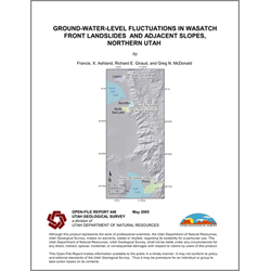
Ground-water-level fluctuations in Wasatch Front landslides and adjacent slopes, northern Utah (OFR-448)
By: F. X. Ashland, R. E. Giraud, and G. N. McDonald
We monitored ground-water levels in and adjacent to five Wasatch Front landslides to document seasonal and intermediate-term ground-water-level fluctuations that can be used to estimate design ground-water levels in landslide- and slope-stability analyses. Our data span a relative drought period (1999-2003), but locally document the effects of wetter than normal precipitation on ground-water levels in 2004.
Our data provide some preliminary insight into intermediate-term (spanning several years) fluctuations in ground-water levels in landslides, but more data are needed. The measured total fluctuation at the Sunset Drive (Layton) and Springhill (North Salt Lake) landslides ranged from 5.2 to 8.8 feet and from 3.1 to 4.5 feet, respectively. A decline in ground-water level of 14 feet occurred in a well in the upper part of the Sherwood Hills landslide complex, between 2000 and 2004. Measurements of same-month and/or peak levels showed that ground-water levels generally declined over the drought period (1999-2003), but locally rose in response to wetter than normal conditions in 2004. Preliminary data suggest the rebound in ground-water levels in wet periods is more rapid than the decline during dry periods.
Other Information:
Published: 2005
Pages: 22 p.
Location: Davis, Salt Lake, and Utah Counties
Media Type: Paper Publication