


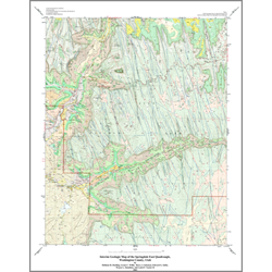
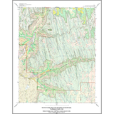
Interim geologic map of the Springdale East quadrangle, Washington County, Utah (OFR-393)
By: H. H. Doelling, G. C. Willis, B. J. Solomon, E. G. Sable, W. L. Hamilton, and L. P. Naylor II
This color map covers the Springdale East quadrangle. Information in this publication includes: a description of map units, a correlation of geologic units, a lithologic column, and a cross-section. This Open-File release makes information available to the public during the review and production period necessary for a formal UGS publication. This map may be incomplete, and inconsistencies, errors, and omissions have not been resolved. While the document is in the review process, it may not conform to UGS standards; therefore it may be premature for an individual or group to take actions based on its contents.
Other Information:
Published: 2002
Pages: 20 p.
Plates: 1 pl.
Scale: 1:24,000
Location: Washington County
Media Type: Paper Map