


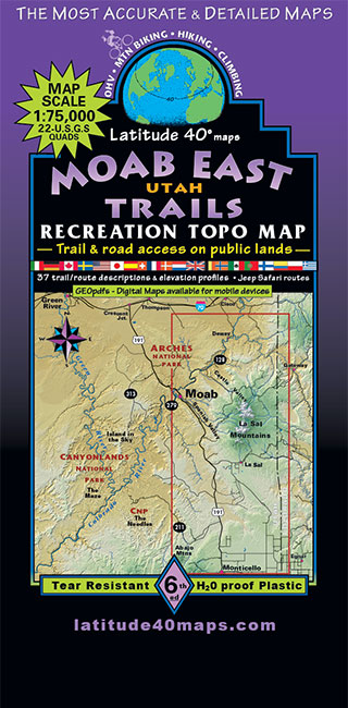

Moab East Trails
MH13
In stock
Hiking and Recreation Maps
$13.95
Size
- 39″x 25″ flat
- 8″x 4″ folded
Scale 1:75,000; 1 inch = 1.2 miles or 1.9 km
Contour Interval 80 feet with shaded relief base
Latest Edition 6th – 2020
Back Side
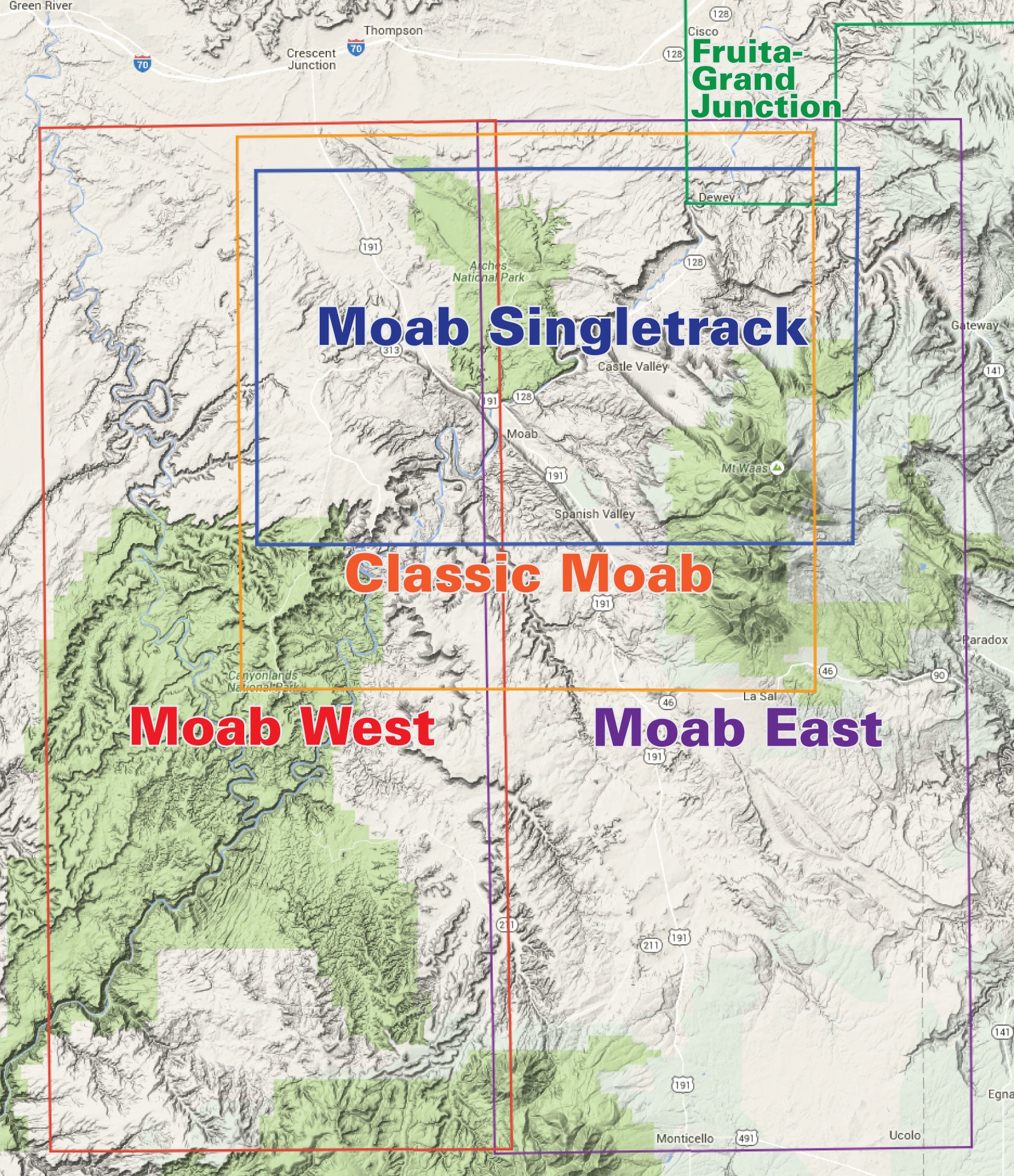
- As of 2006, the map continues south to the northern edge of the Abajo Mountains and the town of Monticello
- Trail descriptions for 37 routes for all types of travel, with degree of difficulty, length in miles, and elevation/distance and gain
- Special-use camping information
- Information about the fragile desert, seasonal hazards, map reading, getting lost, etc.