


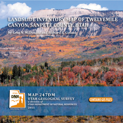

Landslide inventory map of Twelvemile Canyon, Sanpete County, Utah (M-247dm)
By: G. N. McDonald and R. E. Giraud
Contains a 1:24,000 scale landslide inventory map and geodatabase for Twelvemile Canyon, east of Mayfield, Utah. The map covers 59 square miles on the west side of the Wasatch Plateau. The purpose of the map and database is to show landslide deposits and their characteristics to provide information for managing landslide problems. Spatial and tabular data for each landslide are stored in the geodatabase and linked to the inventory map. Landslide information in the geodatabase includes: area, material type, movement type, landslide deposit name, landslide source name, movement activity, thickness, movement direction, approximate movement dates, bedrock unit underlying the landslide, confidence in mapped boundaries, mapper, peer reviewer, and general comments.
Other Information:
Published: 2011
Plates: 1 pl.
Scale: 1:24,000
GIS included
Location: Sanpete County