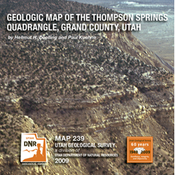
Geologic map of the Thompson Springs quadrangle, Grand County, Utah (M-239)
By: H. H. Doelling and P. Kuehne
The Thompson Springs quadrangle is located in east central Utah along the Interstate 70 (I-70) corridor. The geology is dominated by the Upper Cretaceous Mancos Shale, which was deposited in the Western Interior Seaway. Exposed strata range in age from Late Jurassic to Late Cretaceous and include (in ascending order) the Brushy Basin Member of the Morrison Formation, Cedar Mountain Formation (Yellow Cat, Poison Strip Sandstone, and Ruby Ranch Members), Dakota Sandstone, Mancos Shale (Tununk, Juana Lopez [formerly mapped as Ferron Sandstone], and Bluegate Members), Blackhawk Formation, Castlegate Sandstone, and Buck Tongue Member of the Mancos Shale.
Other Information:
Published: 2009
Plates: 2 pl.
Scale: 1:24,000
Location: Grand County
Media Type: Paper Map


